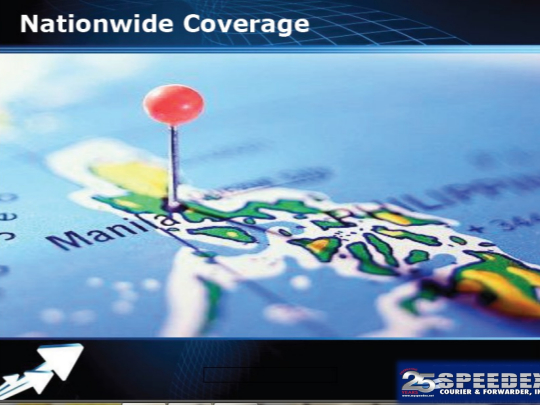
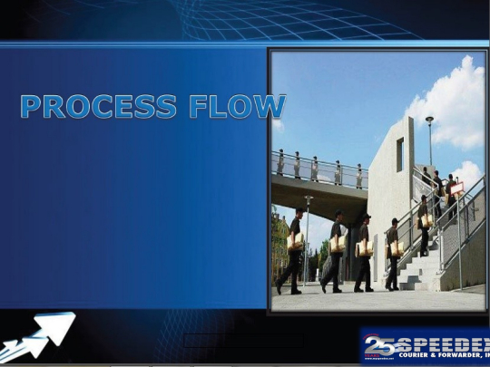
Manned by highly-trained and seasoned personnel stationed across the country.
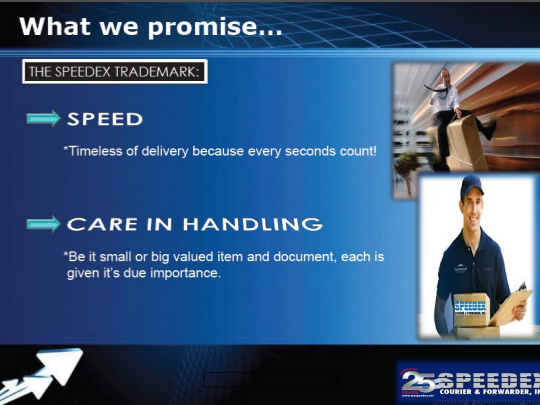
Ready to deliver in the quickest time possible
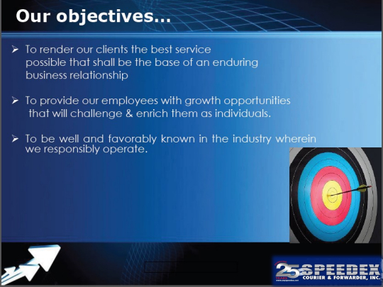
Speedex provides efficient service without the high cost.

Dear Valued Clients,
In observance of the Feast of the Immaculate Conception of Mother Mary, December 8th, Monday has been declared as a special non-working holiday throughout the country.
In view of this, please be advised that we have no pick up and delivery operations on the said date.
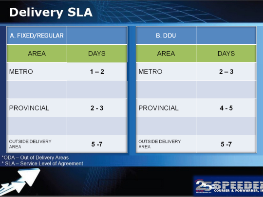
All cargoes to be picked up on Saturday, December 6, will start delivery SLA on Tuesday, December 9, 2025.
Thank you.

Dear Valued Clients, In observance of the Feast of the Immaculate Conception of Mother Mary, Decem...
Dear Valued Clients, In observance of National Heroes Day, August 25, 2025, Monday, has been declar...
Dear Valued Clients, In light of the latest weather advisory issued by DOST-PAGASA, please be infor...
Dear Valued Clients, In the observance of National Independence Day, Thursday, 12 June 2025, is de...
Dear Valued Clients, In observance of Labor Day, please be advised that Thursday, May 1, 2025, is...
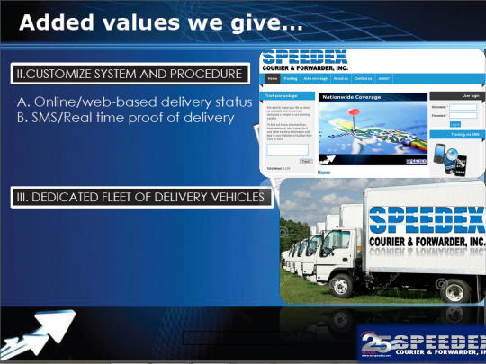
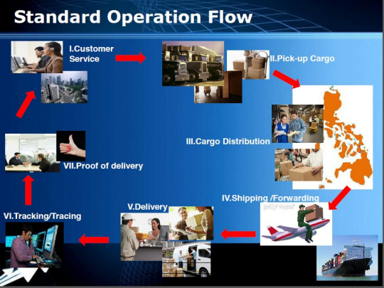
We want to make your life as easy as possible and so we have designed a simple to use tracking system.

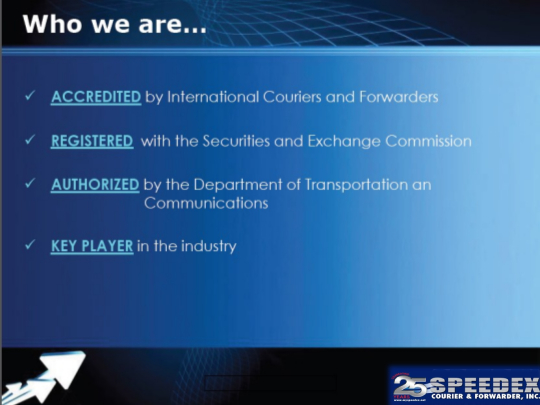

Speedex is a proudly 100% Filipino-owned company, registered with the Department of Trade and Industry since October 1993.
Operating under the business name Speedex Courier and Forwarder, we are duly registered with the Securities and Exchange Commission under company registration number CS200915565, effective October 6, 2009.
For 31 years, we have maintained a steadfast commitment to excellence. We take immense pride in the services we provide, ensuring that every customer feels supported and confident at every stage of their logistics needs. From evaluating customer requirements to designing tailored logistics solutions, training our workforce to meet evolving demands, and delivering goods promptly and securely — excellence drives every step of our journey.
As we look to the future, we invite you to partner with Speedex. Experience the highest standards in quality, efficiency, and reliability, all while receiving the best value for your money. The Speedex name has become synonymous with service excellence and competence. Accredited by industry-leading entities, we operate under the authorization of the Information and Communications Technology Office (ICTO) under the Department of Transportation and Communications (DOTC).
Our highly trained and experienced team of nationwide couriers are ready to deliver your documents and parcels with the utmost care, speed, and safety. Every package entrusted to us is handled with the diligence that ensures timely and safe delivery, adhering to the strictest confidentiality standards.
At Speedex, competitive pricing never means compromising on service quality. We guarantee that our rates offer exceptional value while maintaining the highest level of service.
Our Core Objectives:
Our Commitment to Trust and Integrity:
Speedex stands for trust, reliability, and integrity. Every freight, parcel, and mail we handle reflects our commitment to speed, safety, and security. Backed by our trademark service quality, we ensure a hassle-free and seamless transaction experience for all our customers.
With three decades of industry leadership, Speedex lives up to its name, reputation, and promise. Our history of accomplishments and milestones speaks volumes of our dedication to service excellence.
ECF Building
Malate, Manila
admin@myspeedex.net
02 4004628 to 29